See how Flash Forest is accelerating reforestation across Canada. Download our latest Impact Report
Solutions
Company
Resources

501 Alliance Avenue Toronto, ON, M6N 2J1 Canada
INFO@FLASHFOREST.CA
See how Flash Forest is accelerating reforestation across Canada. Download our latest Impact Report
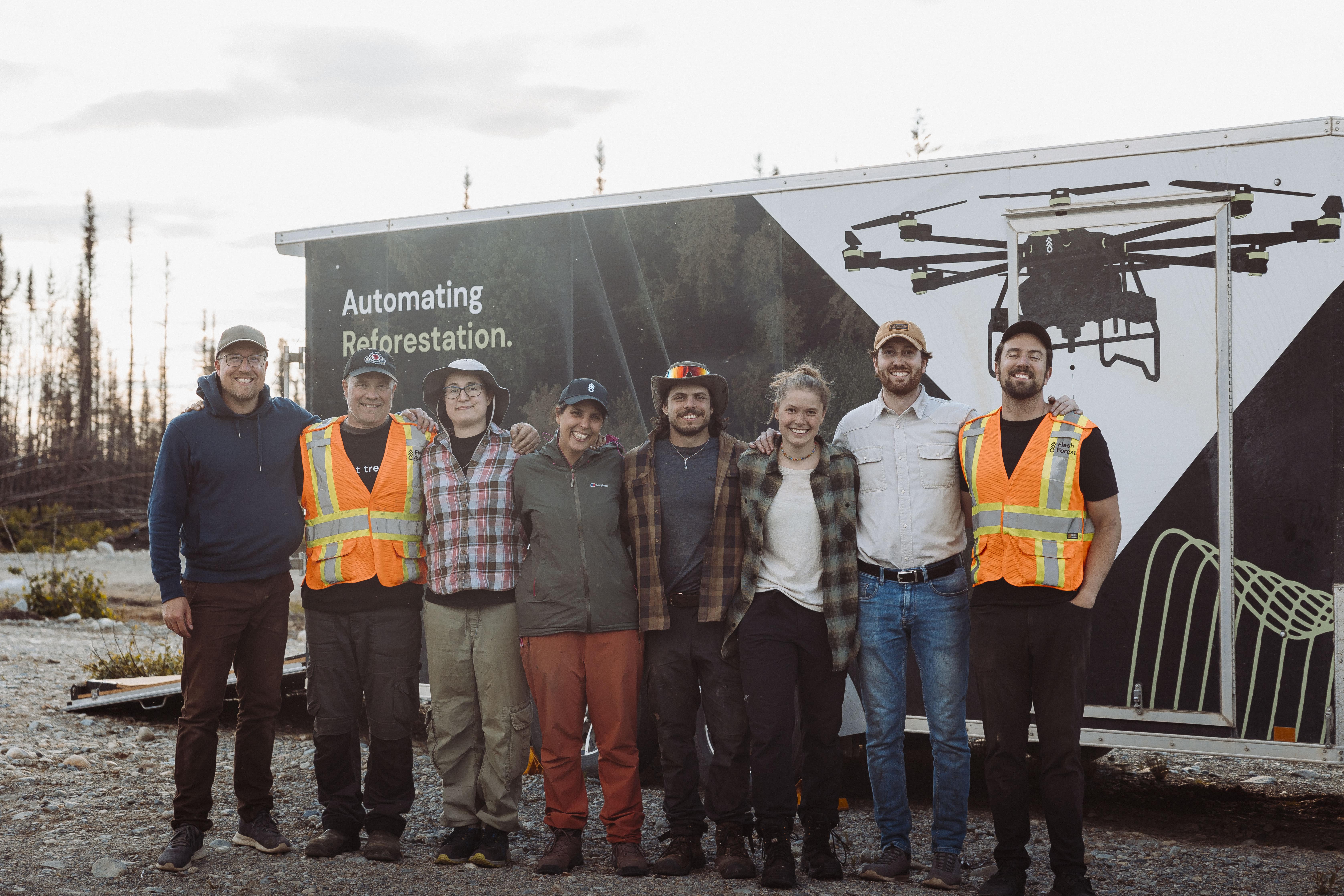
"We have moved past the era of sampling" - Cameron Jones, COO at Flash Forest
Today we are excited to announce the launch of the Forestry Intelligence Service (FIS), a drone-based LiDAR and multi-spectral forest survey offering designed to replace traditional silvicultural effectiveness monitoring with census-level precision.
Forest Tenure holders have long relied on aerial ocular surveys and ground sampling to assess regeneration.
FIS eliminates that uncertainty by delivering a complete forest inventory: individual stems identified by species, height, and health, with 100% block coverage at over 1,000 hectares per day.
Read the full article here https://lnkd.in/gjKNPVqQ
-min.avif)